Regional Walkway Noardlike Fryske Wâlden
Noordoost Friesland
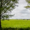
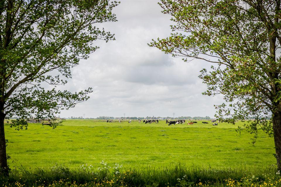
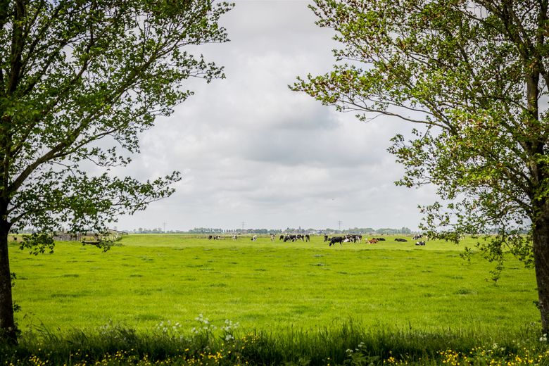
The combination of cultural and natural elements ensures the Regional Walkway as a must-see during your visit in Friesland. Let's wonder in an area that tells its own story in a walking network of 165 kilometers.
The national lanscape Noardlike Fryske Wâlden is a unique area in Europa. This because the large scale of cultural-historical and nature elements. In the 165 kilometres walking network give you the story of the region. There are pingo from the ice age and small-scale agricultural parcels demarcated by tree rows. These tree rows were planted as enclosure for the cattle. Nowadays they are important for biodiversity. Most of this special landscape are maintain by the farmers. The national landscape Noardlike Fryske Wâlden is perhaps the best kept secret of Friesland.
Hiking
A walk on the regional path Noardlike Fryske Wâlden can be started anywhere. Before departure, choose a route in the guidebook. You can also as a local people to the special places in the area.
- Distance to your location:
Here you will find Regional Walkway Noardlike Fryske Wâlden
Noordoost Friesland Plan your routefrom your location
In the neighbourhood
-
Cultuurhistorischeroute | Nationaal Park De Alde Feanen | Op é Trapers
Cultuurhistorischeroute | Nationaal Park De Alde Feanen | Op é Trapers(42.0 km)Eernewoude -
Edible Friesland - Leeuwarden-Burgum Food Route
Edible Friesland - Leeuwarden-Burgum Food Route(39.0 km)Leeuwarden
Locations
View all locations-
It Noarderleech - Noard Fryslan Butendyks
It Noarderleech - Noard Fryslan ButendyksWant to get a breath of fresh air on these salt marshes outside the dikes? This area is a very popular attraction for birds, a sloppy million of them pay a short or longer visit every year. It's rough, wide and often you're the only one of your kind here!
Hallum -
Kiekenberg Hill
Kiekenberg HillKiekenberg hill is the highest point in the landscape near the villages of Nieuwehorne, Oudehorne and Oldeberkoop. It was originally two small river dunes, one larger than the other.
Oudehorne -
Diakonievene
DiakonieveneHistorie: “wandelen door dit natuurgebied doet terugdenken aan de diaconie van vroeger die de inwoners van Nijeberkoop hielp aan turf”<br /> Je ziet d...
Nijeberkoop -
Ketliker Skar
Ketliker SkarIn alle rust kun je hier over de Ketlikerheide wandelen. Aan de overkant van de Schoterlandseweg vind je het adellijke bos van het Ketliker Skar. Hier...
Katlijk -
Pettebosk Forest Playground
Pettebosk Forest PlaygroundPettebosk is a place where children of all ages can go on a nature adventure. Practice survival skills, play nature games and discover the secrets of...
Earnewâld -
Staatsbosbeheer Lauwersmeer
Staatsbosbeheer LauwersmeerBij het horen van de naam Lauwersmeer, de wildernis op de grens van Groningen en Friesland, beginnen vogelkenners al te watertanden.
Lauwersoog -
Blauhúster Poelen Nature Reserve
Blauhúster Poelen Nature ReserveThe Blauhúster Poelen (in Frisian Blauhúster Puollen) nature reserve encompasses three small reservoirs - It Fliet, Reidmar and Sipkemar - and the former natural drainage area of Tsjesskar.
Westhem -
Het Kleine Veen
Het Kleine VeenTeruggegeven aan de natuur<br /> Hoogveen wordt ónder water gevormd, maar bóven de grondwaterspiegel. Het bestaat vrijwel uitsluitend uit de resten va...
Fochteloo -
Eanjumer Kolken
Eanjumer Kolken<br /> Weidevogels als tureluur, scholekster en kieviten zijn hier in het voorjaar te vinden. Tijdens de vogeltrek bevolken duizenden smienten, goudpl...
Anjum -
Oudemirdumer Klif (cliff at Oudemirdum)
Oudemirdumer Klif (cliff at Oudemirdum)The cliff at Oudemirdum is 6 metres high. It was formed during the last ice age but one when the land was pushed up by enormous glaciers that advanced from Scandinavia and deposited large boulders in Gaasterland.
Oudemirdum