
Ureterp - Bakkeveen | Koningspad XL Hiking Trail Network: Section 11
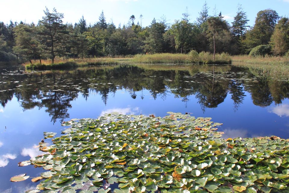
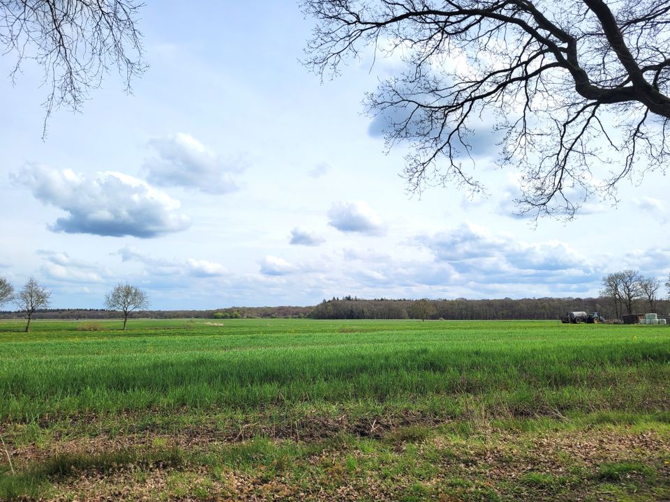
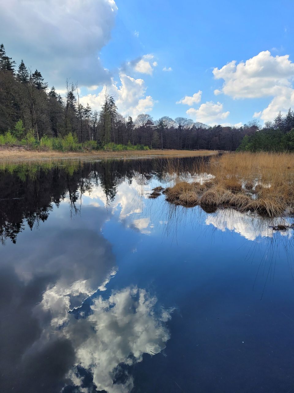
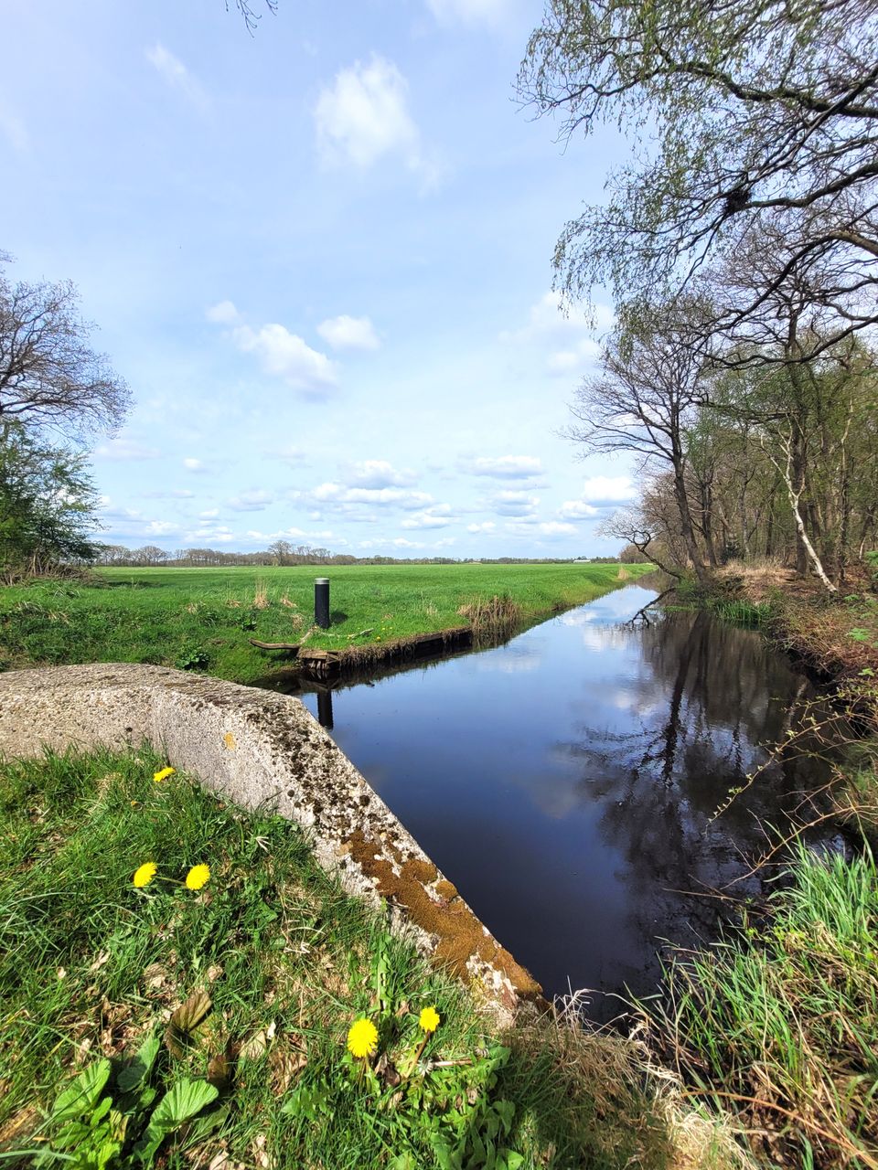
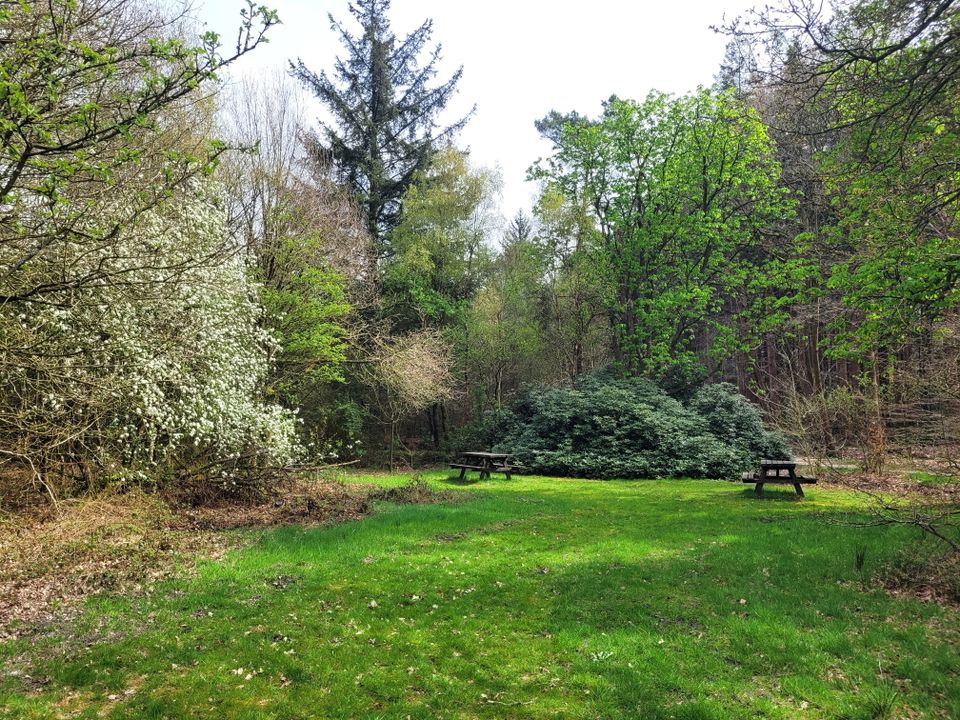
From Ureterp you make your way to the Koningsdiep river along the medieval Baekendyk dike. This medieval dike once protected local farmland from the acidic water discharged from the raised bogs. The route then skirts the edge of the ‘t Oude Bosch nature reserve and the De Slotplaats country estate. To get to ’t Foarwerk, a former monastery farm, you cross the Koningsdiep river again. The last part of the route leads you along the Bakkeveenster Vaart canal, which was dug to transport turf. The walk ends at the restaurant on the De Slotplaats country estate.
The 14 sections of the Koningspad XL Hiking Trail Network take you past the highlights of the Koningsdiep stream valley.
To find out more about this section of the network, take a look at the detailed description of the route with photos and videos.
Locations on this route
-
32
Start point:
Waypoint walk 32
Ureterp
Navigate to starting point -
32
-
67
-
46
-
71
-
77
-
72
-
76
-
Sterrenschans Star Fort at Bakkeveen
Sterrenschans Star Fort at Bakkeveen
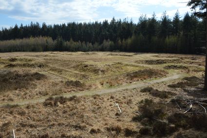
The star-shaped fort near the village of Bakkeveen is a historic fortification that was rediscovered in 1991. It was used for military exercises in the 18th and 19th centuries, but is not thought to have been used during the war.
-
45
-
44
-
28
-
55
-
58
-
Landgoed De Slotplaats
Landgoed De Slotplaats
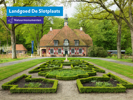
A centuries-old estate owned by Natuurmonumenten, where the iconic manor farm, gardens, orchard and park woodland tell stories of the past. Explore the more than 240-hectare nature reserve on foot or by bike, or come and play at our OERRR Nature Play area. Also recommended: join one of our guided ex
-
58
End point:
Waypoint walk 58
Bakkeveen
Navigate to endpoint
- 32
- 32
- 67
- 46
- 71
- 77
- 72
- 76
- 45
- 44
- 28
- 55
- 58
- 58