The old rural landscape of Westergo
Make it easy to navigate. Download the route in Google Maps.
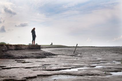
The Middelzee was a deep tidal inlet that formed the border between the territories of Westergo and Oostergo within the realm of Friesland. The estuary ran south past Leeuwarden then curved east towards the cities of Sneek and Bolsward. The road that takes you from Leeuwarden to Stiens (Brédyk road) follows the path of the dike that protected the region of Oostergo from the waters of the Middelzee.
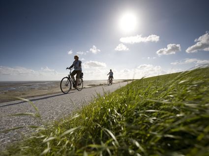
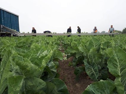
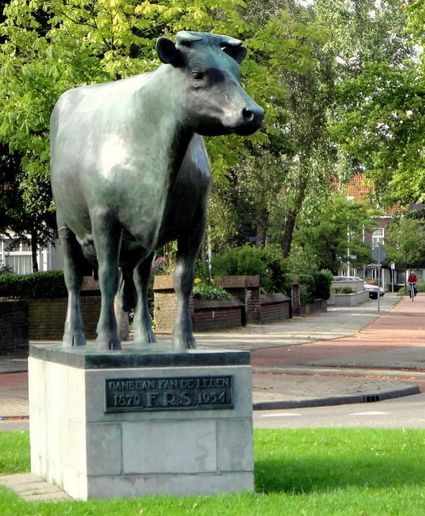
On this route, you get to see part of the western shore of the estuary. In the Greidhoek area at the heart of Westergo region, the land is used almost entirely for livestock farming. So the route starts with an ode to these domesticated herbivores in the form of the Netherlands’ most famous cow (Us Mem).
From h…
Make it easy to navigate. Download the route in Google Maps.
The Middelzee was a deep tidal inlet that formed the border between the territories of Westergo and Oostergo within the realm of Friesland. The estuary ran south past Leeuwarden then curved east towards the cities of Sneek and Bolsward. The road that takes you from Leeuwarden to Stiens (Brédyk road) follows the path of the dike that protected the region of Oostergo from the waters of the Middelzee.
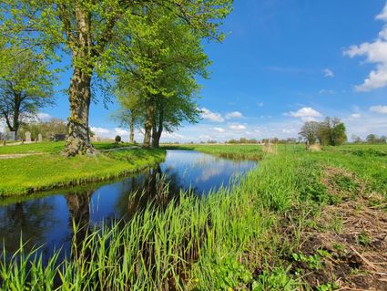
On this route, you get to see part of the western shore of the estuary. In the Greidhoek area at the heart of Westergo region, the land is used almost entirely for livestock farming. So the route starts with an ode to these domesticated herbivores in the form of the Netherlands’ most famous cow (Us Mem).
From here, you cycle across land reclaimed from the former Middelzee estuary to the picturesque village of Marssum, where you can have a coffee in one of the oldest cafés in the Netherlands and see the beautifully preserved Poptaslot country estate.
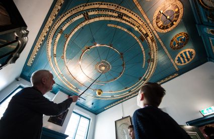
The route continues along a shell-paved path to the village of Beetgum and along the banks of the canal between the villages of Menaldum and Dronrijp. Along the way, you see the Schatzenburg country estate built in the 18th-century by a local patrician and the houses in Dronrijp where the astronomer Eise Eisinga and the painter Lourens Alma Tadema were born.
Next you ride through open farmland to the villages of Deinum and Ritsumazijl and along a narrow cycle path back to Leeuwarden, where inviting terraces await.
Sights on this route
8911 AH Leeuwarden
Us Mem
Het beeld van ‘Us Mem’ (Onze Moeder), in 1954 gemaakt door Gerhardus Jan Adema, is misschien wel hét symbool van Fryslân geworden. Us Mem is nu onderdeel van het Fries Landbouwmuseum.
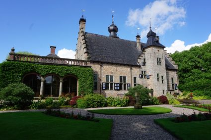
Poptaslot of Heringastate
Poptaslot, the jewel among the Frisian Stinzen, called, to the last States and occupant, the wealthy lawyer Dr. Henricus Popta. From his death in 1712 the estate with gardens, canals and ports increasingly managed by 4 guardians. The decor is still m...
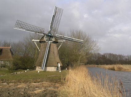
Poldermolen de Kievit
De Kievit werd in 1802 gebouwd voor de bemaling van de 265 ha grote Berlikumerpolder, waarbij hij zowel kon inmalen als uitmalen. De molen staat op particulier terrein en is alleen te bezichtigen wanneer hij draait en op afspraak.
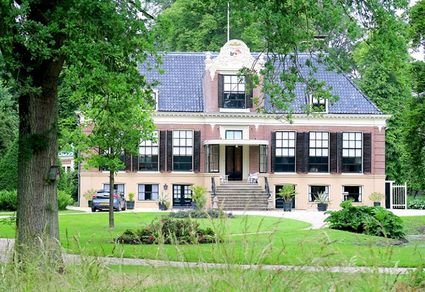
Schatzenburg
Tussen Dronryp en Menaam is landhuis Schatzenburg met omliggende 19e eeuwse tuin in landschapsstijl te vinden.
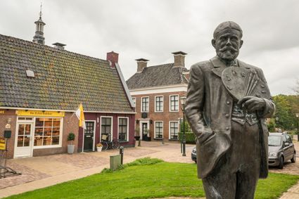
Statue Sir Lawrence Alma Tadema
The statue of the famous painter Sir Lawrence Alma-Tadema stands in front of his birthplace in the center of Dronryp.
8911 AH leeuwarden
- 63
- 61
- 76
- 75
- 02
- 78
- 84
- 61
- 77
- 99
- 17
- 62
- 62
-
Edible Friesland - Lauwersmeer Lake-Wadden Sea Coast Food Route
Edible Friesland - Lauwersmeer Lake-Wadden Sea Coast Food Route (42.0 km)Engwierum
 -
Foodroute van Wouden, Mieden naar voormalig Wad
Foodroute van Wouden, Mieden naar voormalig Wad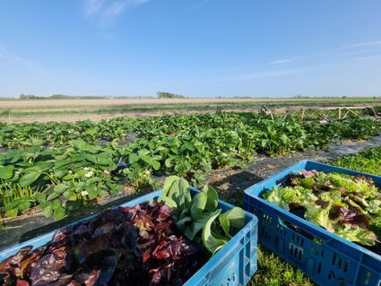 (39.0 km)Buitenpost
 -
Elfstatentocht Country Estate Route - III
Elfstatentocht Country Estate Route - III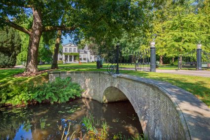 (65.5 km)Heerenveen