
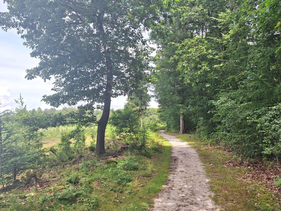
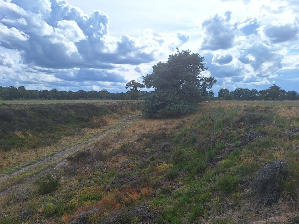
Long circular walk through the Bakkeveense Duinen dunes
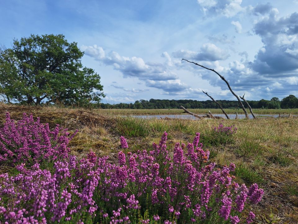
Nature reserve
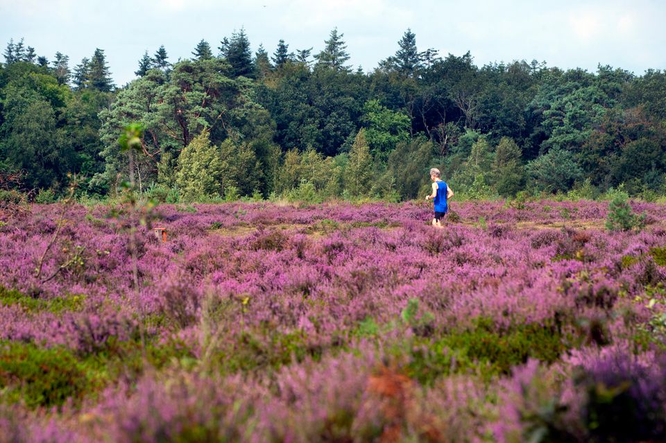
Bakkeveen is a beautiful area where you can enjoy walking through forests, heathland and sand drifts. There are also many interesting historical and cultural features to explore. The Bakkeveense Duinen dune reserve, also known as the It Mandefjild heath, occupies an area of more than 200 hectares. The reserve is managed by It Fryske Gea, the organisation that protects Friesland’s natural and cultural heritage. It is a very popular place for a scenic walk so it is best to avoid going there on fine weekends when it can get quite crowded.
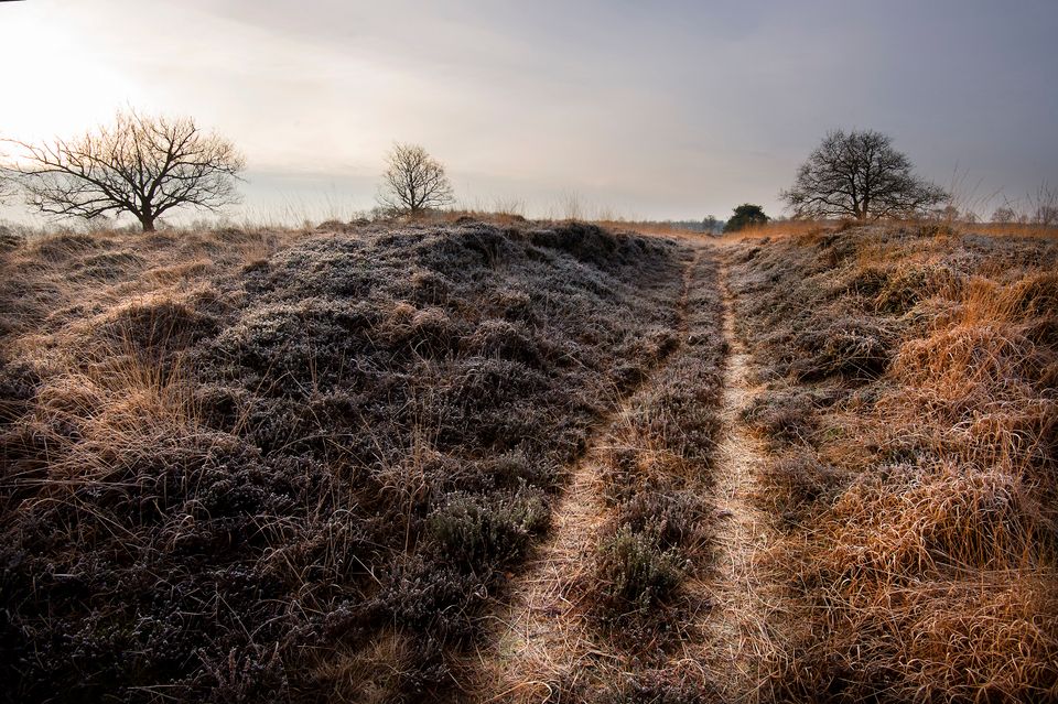
Medieval earth fortification
On the border between the provinces of Friesla…
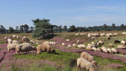
Nature reserve
Bakkeveen is a beautiful area where you can enjoy walking through forests, heathland and sand drifts. There are also many interesting historical and cultural features to explore. The Bakkeveense Duinen dune reserve, also known as the It Mandefjild heath, occupies an area of more than 200 hectares. The reserve is managed by It Fryske Gea, the organisation that protects Friesland’s natural and cultural heritage. It is a very popular place for a scenic walk so it is best to avoid going there on fine weekends when it can get quite crowded.
Medieval earth fortification
On the border between the provinces of Friesland and Drenthe, you will pass the Landweer, a strategically positioned earth fortification. It was built in the late Middle Ages to keep out gangs of looters from Drenthe. If you are interested in old defensive structures in Friesland, you may wish to explore the routes along the Frisian Water Line.
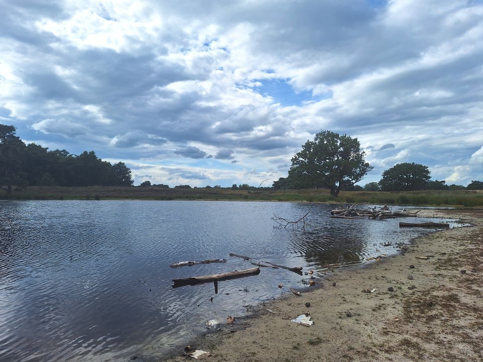
Allardsoog
Part of the walk takes you across an area of heathland near the hamlet of Allardsoog where the three provinces of Friesland, Groningen and Drenthe meet. The well-worn track that runs through this area dates back to medieval times. This was once one of the main routes from Friesland to Groningen and Drenthe. On the heathland near Allardsoog there are several Neolithic burial mounds.
Green guide posts
This 8.5-kilometre walk is clearly marked with green guide posts so it is almost impossible to get lost. Or if you prefer, you can follow the walking route network junctions listed below. There are also shorter walks you can do from the car park at the Tourist Transfer Point (Toeristisch Overstap Punt or ‘TOP’).
Fun for dogs
Faithful four-legged friends are also welcome and can be let off the leash on the sand drifts at the start and end of the route. However, please be considerate of other visitors and be sure to clean up after your pet! In the rest of the area, dogs must be kept on a leash.
Refreshments
Halfway along the route, you can stop for a drink and a bite to eat at the point where the three provinces of Friesland, Groningen and Drenthe meet. There are also several cafés at the end of the trail where you can enjoy a cup of coffee or lunch after completing the walk.
Sights on this route
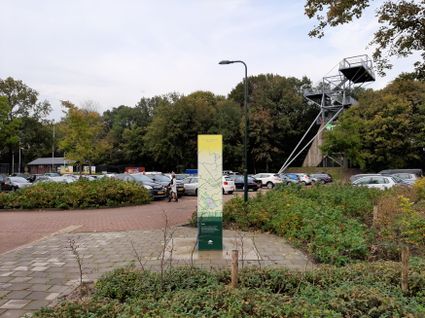
TOP Bakkeveen
De TOP in Bakkeveen is hét startpunt voor je wandeling of fietstocht in Bakkeveen en omgeving. Vanaf Toeristisch Overstap Punt Bakkeveen kun je zo de mooie heidevelden intrekken!
Uitkijkpunt Bakkeveen
Een prachtig uitkijkpunt nabij de duinen van Bakkeveen. Vanaf hier kijkt u ver over het prachtige natuurgebied. De Belvedere is 23 meter hoog en is geopend op 22 juli 2005. Het Bakkeveense uitkijkpunt is gratis toegankelijk.

Mandefjild
Door de bijzondere natuurwaarden is het Mandefjild uitgeroepen tot Natura 2000-gebied. Deze status zorgt ervoor dat he...
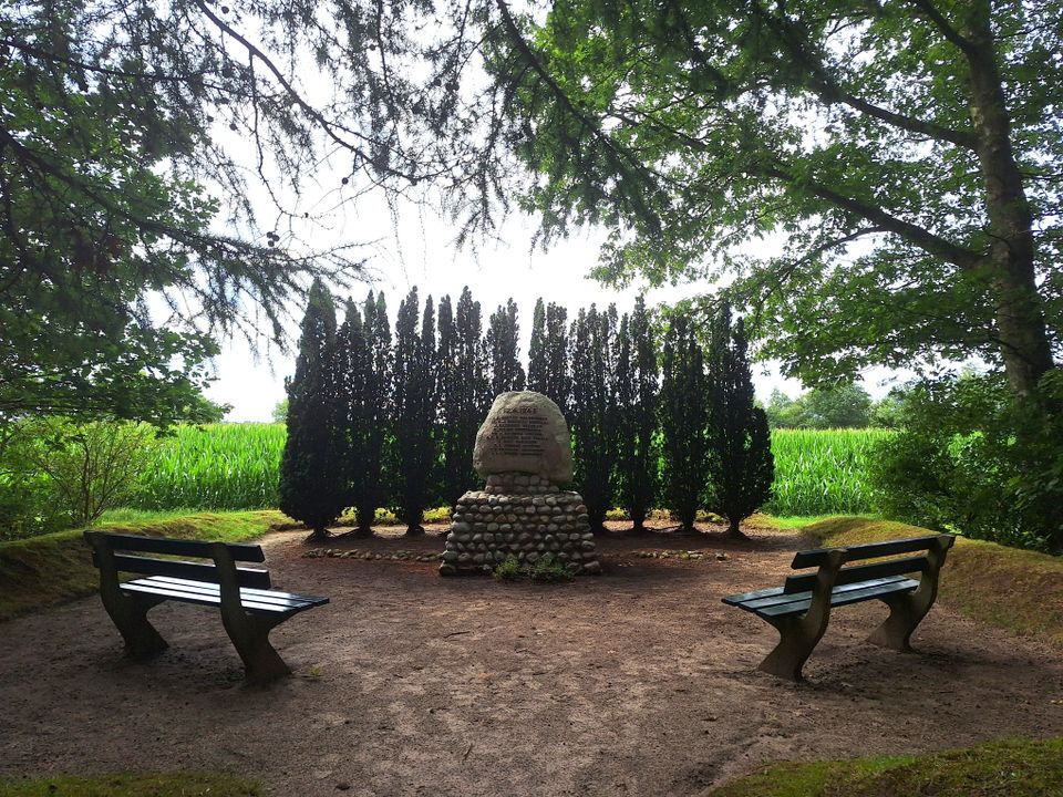
Verzetsmonument WOII Bakkeveen
In Bakkeveen herinnert een verzetsmonument aan tien Groningse verzetsmannen die op 10 april 1945 door de bezetter werden geëxecuteerd. Het staat op de plek waar hun lichamen kort na de bevrijding werden gevonden.


TOP Bakkeveen
De TOP in Bakkeveen is hét startpunt voor je wandeling of fietstocht in Bakkeveen en omgeving. Vanaf Toeristisch Overstap Punt Bakkeveen kun je zo de mooie heidevelden intrekken!
- 62
- 66
- 16
- 44
- 40
- 53
- 51
- 54
- 52
- 47
- 43
- 68
- 69
- 62