
Frisian Water Line III
This cycling route takes you past places where fortifications were rapidly constructed along the west section of the Frisian Water Line during the Eighty Years’ War in Southeast Friesland.
The Frisian Water Line was built shortly after 1580 and stretched from the Zuiderzee inlet in the west to the Groningen Water Line in the east.
During the Eighty Years’ War with Spain and a century later when the Prince-Bishop of Münster, also known as ‘Bombing Bernhard’, attempted to invade Groningen, the land here was flooded. The only way to get to Leeuwarden was to pass through the strategically located forts. So the capital of Friesland was protected.
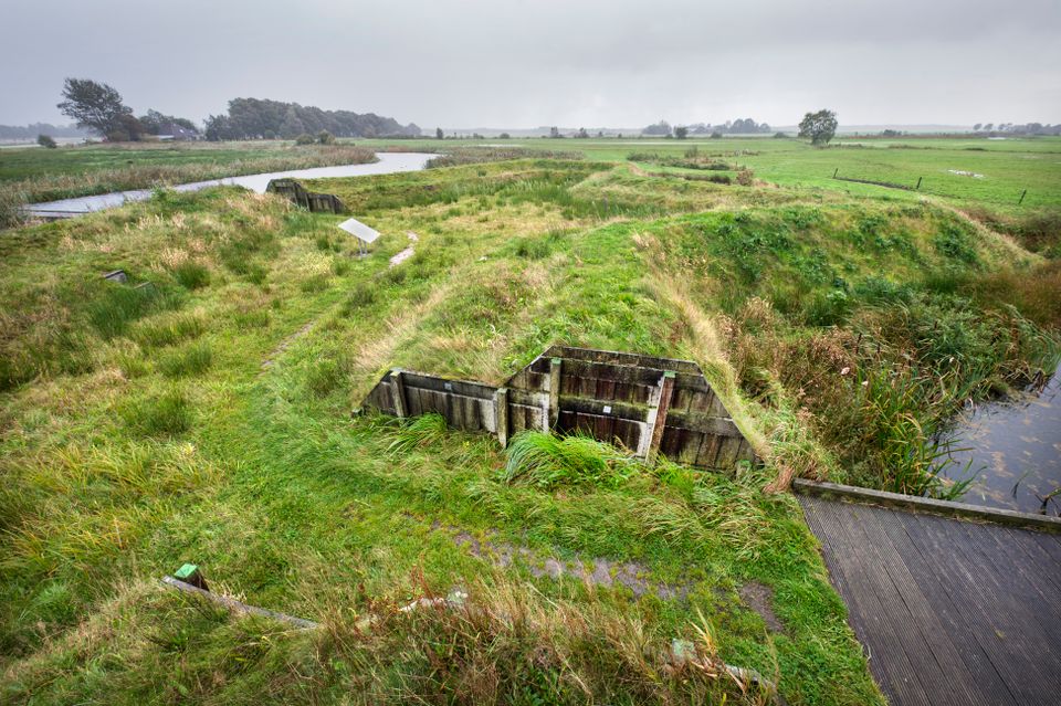
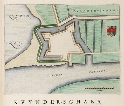
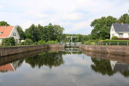
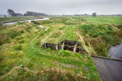
This cycling route takes you past places along the west section of the Frisian Water Line where the forts stood. You learn more about Kuinderschans fort, Slijkenburgerschans fort and Blessebrugschans fort near the town of Wolvega, which is the only one still visible.
Locations on this route
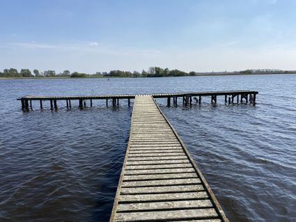
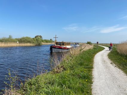
River Linde
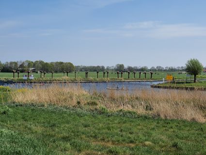
The River Linde is a beautiful stretch of water in south Friesland. Running from the little village of Tronde to the village of Kuinre, it forms the border between the provinces of Friesland and Overijssel. This is a wonderful area for riverside walks.
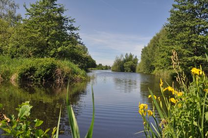
De Scheene Waterway
In the Rottige Meente nature reserve there is a waterway known as De Scheene that runs from the village of Nijeholtpade to the village of Spanga. Between 1850 and 1930 this waterway was a busy turf shipping route.
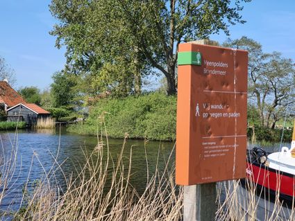
Brandemeer Nature Reserve
The Brandemeer nature reserve is an area of beautiful unspoilt countryside in the municipality of Weststellingwerf. This is a wonderful place to walk or cycle, take spectacular nature photos and discover different species of birds.
- 01
- 32
- 36
- 75
- 77
- 49
- 79
- 50
- 06
- 52
- 02
- 34
- 35
- 28
- 26
- 26
- 01