Locations
2281 to 2304 of 5447 results
-
Bistro Pinot Grou
Bistro Pinot Grou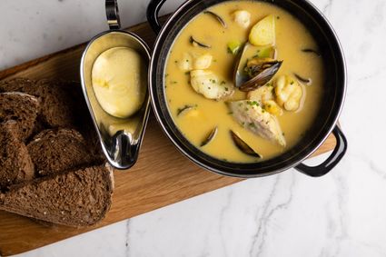 Grou
Grou
from your location
-
Familieboten - Nei 't Sin
Familieboten - Nei 't Sin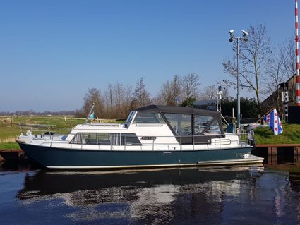 Franeker
Direct boekbaar
from your location
-
Crash location Lancaster W4888
Crash location Lancaster W4888 Workum
from your location
-
Vakantiehuis De Dikke Kei
Vakantiehuis De Dikke Kei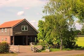 Boijl
Boijl
from your location
-
Play Farm 'Boer Bart'
Play Farm 'Boer Bart'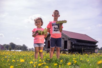 Rotstergaast
from your location
-
Vissersvrouw monument
Vissersvrouw monument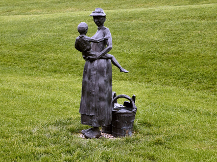 Moddergat
from your location
-
The liberation of Leeuwarden
The liberation of Leeuwarden
On 11 April 1945, it became clear that German resistance in the north of the Netherlands was limited. On 12 April, the Allies seized this opportunity to advance on Friesland as quickly as possible. One of the main goals was to liberate Leeuwarden. The 9th Canadian Infantry Brigade was designated for this purpose. But things would turn out differently.
On 12 April, the Royal Canadian Dragoons entered Friesland at Noordwolde. They were to conduct reconnaissance with their armoured vehicles and reach the Wadden Sea as quickly as possible. As a result, the German troops in Friesland and Groningen would be separated.
On the night of 14 to 15 April, three Squadrons of the Dragoons were at Suameer. Burgum could not be reached earlier that day, because the bridge at Burgummerdam had been blown up by the Germans.
Meanwhile, all sorts of things were happening in nearby Leeuwarden. On 12 April, the airfield had been blown up by the Germans. And they left the city on 14 April. Leeuwarden would not be defended. The Burgerweeshuis (Civil Orphanage) that had housed several German agencies was set on fire. An attempt to blow up the telephone exchange failed due to an ingenious intervention by the resistance. In the early morning of 15 April, the resistance also took to the streets en masse to occupy important points and to capture Germans who had remained behind.
The Dragoons in Suameer were in contact with the resistance in Leeuwarden. Due to various reports, it was unclear whether there was now heavy fighting in Leeuwarden or whether the Germans had left the city completely. Because the Germans had blown up important bridges on the route from Heerenveen to Leeuwarden, the infantry could not quickly provide assistance.
So, the Dragoons went to take a look for themselves. Initially, a patrol of four vehicles was sent via the Groningerstraatweg into the city around half past eleven. One of the Canadians in those vehicles recorded the following:
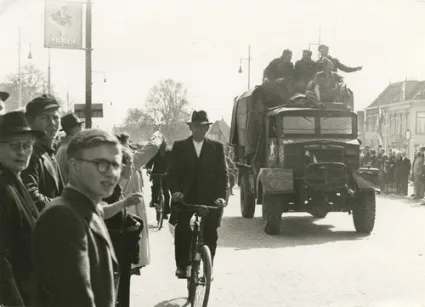
"As we entered the city, passing through the concrete barrier by the narrow passageway left for normal traffic, we were met by an almost hysterical patrol of Resistance men [...] In a few moments the news of our arrival had spread through the city, and we were given a fantastic welcome as we rolled slowly forward into the centre of town."A resident of Leeuwarden recalled:
"We lived close to the Groningerstraatweg, where our liberators passed. Many hundreds of us stood there, all happy spectators. All of a sudden, two ladies from the row flung themselves forward and threw their arms around the Canadians' necks, saying: "Oh darlings, you’re here at last!"After the patrol determined that the coast was clear, the entire C Squadron, a detachment of the Royal Canadian Engineers and Regimental Headquarters of Lieutenant-Colonel Landell followed. Leeuwarden had been liberated. After this, thousands took to the streets. One of the Canadians wrote:
"We halted, and were immediately surrounded by laughing, yelling mobs of people, bringing flowers to give to us, and cheering every move. The Resistance men were everywhere, doing their best to keep the people within bounds and off the cars, but their efforts were hardly necessary. I never saw a more satisfying gathering in my life."Leeuwarden had been liberated by the Dragoons through unexpected circumstances. On the night of 15 to 16 April, Canadian infantry moved into the city.
 Leeuwarden
from your location
-
-
Terpensmole IJlst
Terpensmole IJlst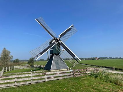 IJlst
IJlst
from your location
-
Huize Goede Reede - Studio appartement
Huize Goede Reede - Studio appartement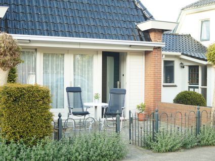 Oudemirdum
Direct boekbaar
from your location
-
The Nannewiid
The Nannewiid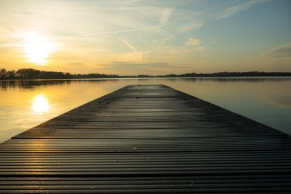 Oudehaske
from your location
-
Mem Wedman Hiking Trail
Mem Wedman Hiking Trail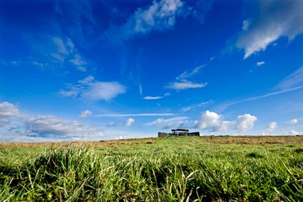 Buitenpost
from your location
-
Waterrijck Stavoren
Waterrijck Stavoren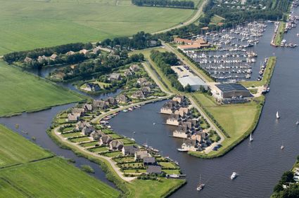 Stavoren
from your location
-
Recreatiebedrijf de Koevoet - Hoekappartement
Recreatiebedrijf de Koevoet - Hoekappartement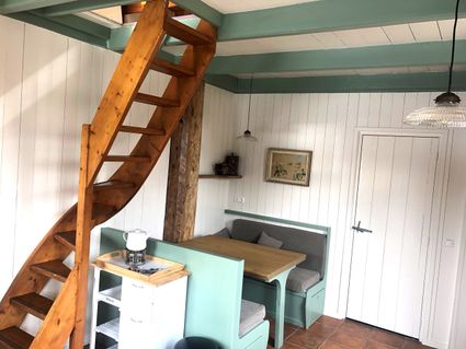 Teroele
Direct boekbaar
from your location
-
Rent to Enjoy - Vakantiehuis Wetterbries
Rent to Enjoy - Vakantiehuis Wetterbries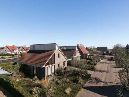 Warns
Warns
Direct boekbaar
from your location
-
b&b Wijdzicht
b&b Wijdzicht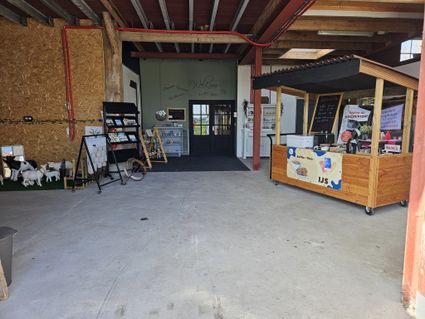 Wolsum
from your location
-
Eysinga State - Boerderijbungalow acht
Eysinga State - Boerderijbungalow acht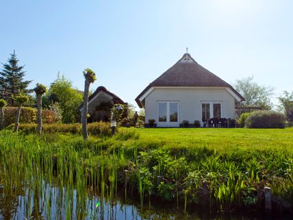 Sint Nicolaasga
Direct boekbaar
from your location
-
Paal 8: It Koailan
-


Accept cookies to see this content.
Paal 8: It Koailan
Dit punt is onderdeel van de route 'It Paad Werom Terherne'. Bekijk hier de hele route. Deze route start bij het grote parkeerterrein in het dorp, Koailan 2.
(beluister hier het audioverhaal)
Voor je ligt de oude helling (de scheepswerf) van Terherne. En het prachtige huis hier rechts voor de bocht, wordt in dit jaar gebouwd voor de hellingbaas. Hij heeft het namelijk erg druk. En toch voorzie ik problemen in de komende jaren. En ik voorspel dan ook dat hij binnen 15 jaar failliet zal gaan. Ik fluister hem dan ook in dat hij over moet stappen op werken met ijzer, maar hij is eigenwijs. ‘Hout zinkt niet!’, roept hij. En ja… je snapt dus wel hoe dat voor hem afloopt…
Terug naar de huidige tijd.
We kijken nog even naar de huizen aan de overkant van het water. Helemaal op de hoek staat een huis dat uitkijkt op de huidige witte sluis van Terherne. Weet je nog dat ik het had over nóg een kroeg, op een andere uithoek van Terherne? Die stond op die plek. Op een uithoek van Terherne. Het is zo rond 1853 geweest dat deze kroeg een nieuwe naam moest krijgen, omdat zijn huidige naam ‘Brette Poask’ refereerde aan de scheldnaam voor Terhernsters. De kroegbaas vernoemde zijn kroeg naar een andere uithoek van de wereld, waar in die tijd een oorlog woedde: De Krim.De Krim dus, vernoemd naar een oorlog. Eerst een kroeg en later een boerderij. Deze boerderij brandde af rond de jaren zestig van de vorige eeuw. Hier kreeg het toerisme ook een andere vorm. In de half afgebrande en opgeruimde schuur ontstond een camping, er werd gekampeerd.
Het witte huis aan de overkant is een sluiswachterswoning. Er was hier nog een keersluis, voor stormachtig weer, waar deze woning bij hoorde. Er is hier veel gebeurd op deze plek. Want voordat dit punt van Terherne het economische zwaartepunt werd, kende Terherne al industrie. Op de plek van kroeg De Krim, en later de afgebrande kampeerboerderij, stonden daarvoor heuse kalkovens. Mijn herinnering geeft aan dat dit tussen 1600 en 1840 is geweest. Dit schiereiland was daarvoor een strategische plek, want er konden gemakkelijk turf en schelpen aangevoerd worden. Er stonden hier 2 of 3 kalkovens. Met schelpenkalk werden huizen gemetseld en zo is het witte huis aan de overkant ook een leshuis geweest om de gebrande kalk te blussen (ook wel lessen genoemd). Dit verklaart ook de lange vorm van het huis. Het huis heeft dus meerdere functies gehad. Het was een flinke industrie voor een plaatsje als Terherne, en door alle tijden heen gold dat aan de uiteinden van Terherne de belangrijkste bedrijven stonden. De vaarroutes waren leidend.
Oke, we draaien om. En lopen dezelfde weg terug richting botenstation, het begin- en eindpunt van de wandeltocht.
En daar sluiten we dan ook mee af. Want hier net voor ‘t Schippershuis is nog een stukje van de splitsing van ‘t Oude Far zichtbaar. Een oud stukje vaarroute, waarover duizenden schippers zijn gegaan. In welvarender tijden en in tijden van vreselijke armoede.
En hier, aan het einde van de route, vertel ik je het best bewaarde geheim van dit dorp: Er is namelijk geen verhaal, herinnering, laatste wens of geheim dat écht verloren gaat. Alles ligt opgeslagen, als in een eeuwig geheugen, in de wateren van Terherne. En dit oorspronkelijk stukje Far is waar ik ze vandaan heb en dat is waar ook jij altijd naar terug kunt gaan.
Wil je meer weten over de vergeten verhalen en de geschiedenis van Terherne? En zoek je de poort naar het verleden? Begin dan bij dit stukje water en zeg duidelijk mijn naam: Broer Sipkes. Dan help ik je op weg. Of bel de plaatselijke schilder en dorpshistoricus Theunis van der Meer.
Dit punt is onderdeel van de route 'It Paad Werom Terherne'. Klik hier om terug te gaan naar de route. Deze route start bij het grote parkeerterrein in het dorp, Koailan 2.
 Terherne
from your location
-
-
National Park Schiermonnikoog
National Park Schiermonnikoog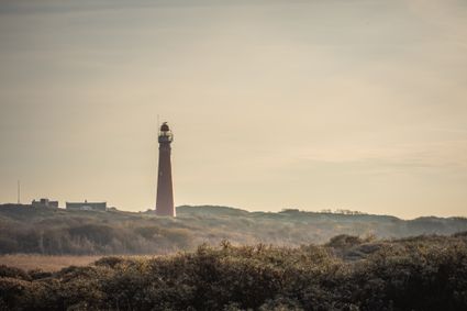 Schiermonnikoog
from your location
-
TIP punt Fietspont Keimpetille
TIP punt Fietspont Keimpetille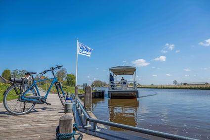 Zweins
from your location
-
Kunstwerk Mirns | Baukje Venema
Kunstwerk Mirns | Baukje Venema
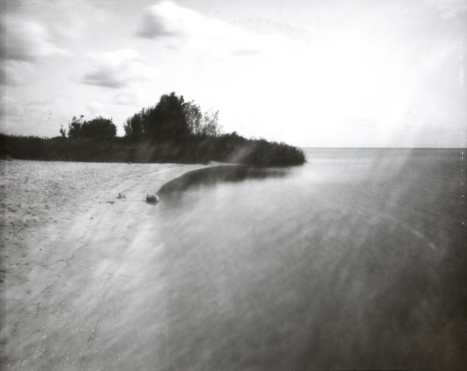
Een foto van Baukje Venema. Deze foto laat het Mirnserklif zien in Mirns en is uit een reeks van kunstwerken die bij de ijsbanen van de Iisbaankeunstrûte horen.
 Mirns
Mirns
from your location
-
-
B&B Nieuwe buren
B&B Nieuwe buren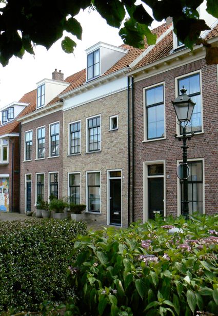 LEEUWARDEN
from your location
-
Akkrum Heechein | Laadpalen aan het water
Akkrum Heechein | Laadpalen aan het water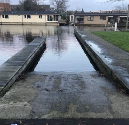 Akkrum
from your location
-
Brouwerij Bjuster
Brouwerij Bjuster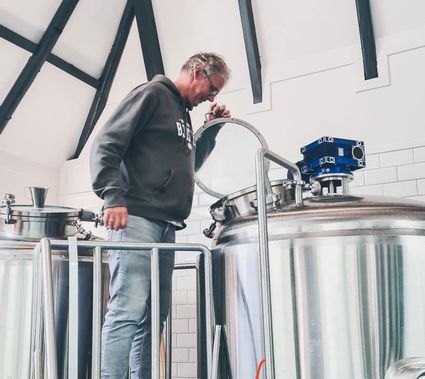 Grou
Grou
from your location
-
Zeevisserssnik: oud vissersschip Paesens
Zeevisserssnik: oud vissersschip Paesens Paesens
from your location

