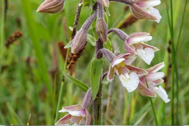
Wandelroute Westpolder kwelders
(3.2 km)
Sights on this route
Starting point: strandweg
9976 VT Lauwersoog
9976 VT Lauwersoog
End point: Strandweg
Lauwersoog
Lauwersoog
- Seasonal information:
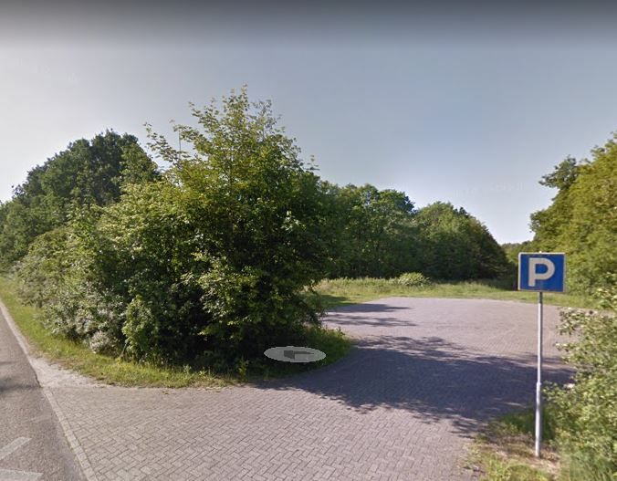
 Deze route is ind erichting van het militair oefenterrein in het Lauwersmeergebied.
- Starting point: Parkeerterrein langs de Strandweg
- Name of Administrator: Staatsbosbeheer
- Marked: Yes
- Details of markings: Blauw
- Route obstacles: Separate cycle path
- Route characteristics: From A to A
- ChildrenYes
- AlternativeYes
- GroupsYes
- BusinessYes
- FamiliesYes
- Young peopleYes
- PupilsYes
- StudentsYes
- AdultsYes
- Senior citizensYes
- StrollerYes
- Dogs on leashYes
Soortgelijke routes
View all routes-
Circular walk between Warns, Laaxum and Skarl
Circular walk between Warns, Laaxum and Skarl(6.7 km)Warns -
Giethoorn - Westeinde - Belt-Schutsloot | Stellingenpad: etappe 4
Giethoorn - Westeinde - Belt-Schutsloot | Stellingenpad: etappe 4(12.6 km)Giethoorn -
Wandelroute Noarderleech
Wandelroute Noarderleech(5.6 km)HallumBreeding season: limited accessible -
Mantgum - Sneek | Elfstedenpad Hiking Trail: Section 2
Mantgum - Sneek | Elfstedenpad Hiking Trail: Section 2(18.6 km)Mantgum -
Damwâld – Kollum | Section 4 of the Circular Route through the Noardlike Fryske Wâlden National Landscape conservation area
Damwâld – Kollum | Section 4 of the Circular Route through the Noardlike Fryske Wâlden National Landscape conservation area(18.5 km)Damwâld