
Hallumerhoek - Dokkum | Elfstedenpad Hiking Trail: Section 12
(20.9 km)
From the hamlet of Hallumerhoek in the area outside the dikes, you continue to the village of Ferwert further on. Here the route crosses the original coastline. But even on the landward side of the dikes, people lived on dwelling mounds or ‘terps’ to keep their feet dry.
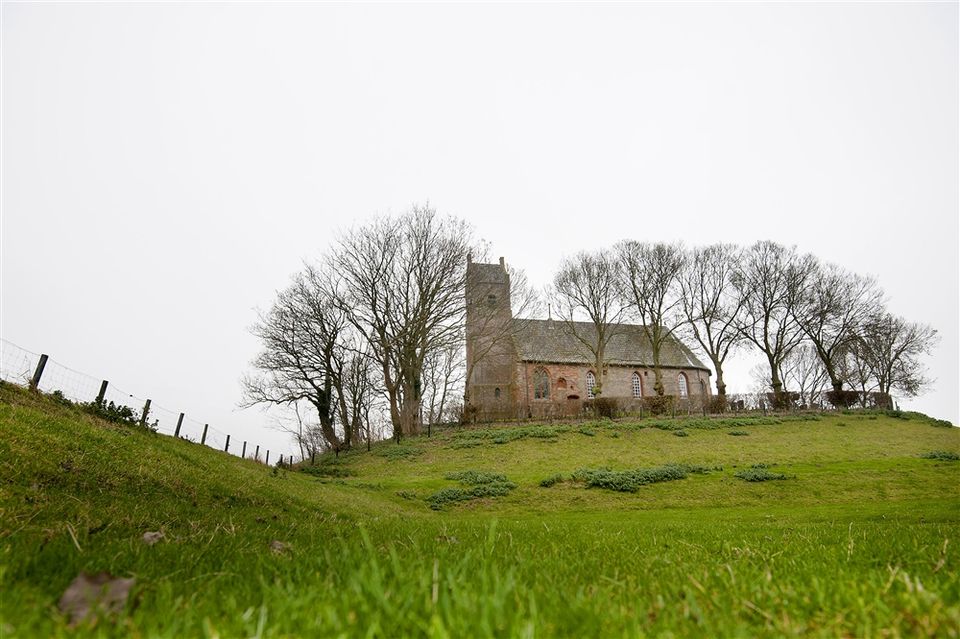
The small village of Hegebeintum just after Ferwert is built on the highest mound in Friesland, though part of the terp has since been dismantled. These large mounds of earth are a spectacular sight in an otherwise flat landscape.
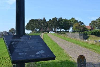
After circling the little church in the village of Lichtaard, the trail continues along the banks of the Dokkumer Ee canal. This stretch of water took the skaters to Dokkum, a place of pilgrimage in the north.
Locations on this route
52
21
22
32
90
48
51
93
79
77
70
71
73
88
83
45
18

- 52
- 21
- 22
- 32
- 90
- 48
- 51
- 93
- 79
- 77
- 70
- 71
- 73
- 88
- 83
- 45
- 18