
Walking through Friesland’s unexpected landscape
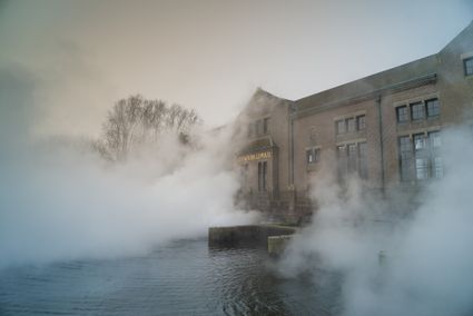
After visiting the UNESCO World Heritage site Ir. D.F. Woudagemaal, you step straight into the wide and gently rolling Frisian countryside.
Your first stop is Sloten, the smallest of the Eleven Cities of Friesland. From there, the route continues toward Gaasterland. Here, instead of open flatlands, you’ll walk through a hilly landscape with woods and occasional tree-lined embankments. This area was shaped in the penultimate Ice Age, when the land ice pushed up the clay and sand to form gentle hills. With its surrounding forests and meadows, this varied region is perfect for a longer hike – and maybe even an overnight stay in one of the charming places nearby.
The full route description includes interesting info for along the way.
Ferry
You’ll cross the …
After visiting the UNESCO World Heritage site Ir. D.F. Woudagemaal, you step straight into the wide and gently rolling Frisian countryside.
Your first stop is Sloten, the smallest of the Eleven Cities of Friesland. From there, the route continues toward Gaasterland. Here, instead of open flatlands, you’ll walk through a hilly landscape with woods and occasional tree-lined embankments. This area was shaped in the penultimate Ice Age, when the land ice pushed up the clay and sand to form gentle hills. With its surrounding forests and meadows, this varied region is perfect for a longer hike – and maybe even an overnight stay in one of the charming places nearby.
The full route description includes interesting info for along the way.
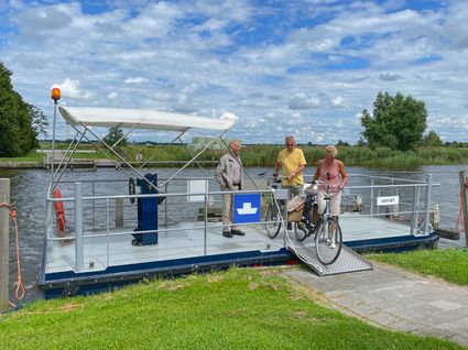
Ferry
You’ll cross the water once by ferry. Make sure to bring some cash just in case. Check the current ferry times on this page beforehand.
Overnight stay
Want to spend the night somewhere along the way? Check out the options and book your stay here.
Locations on this route
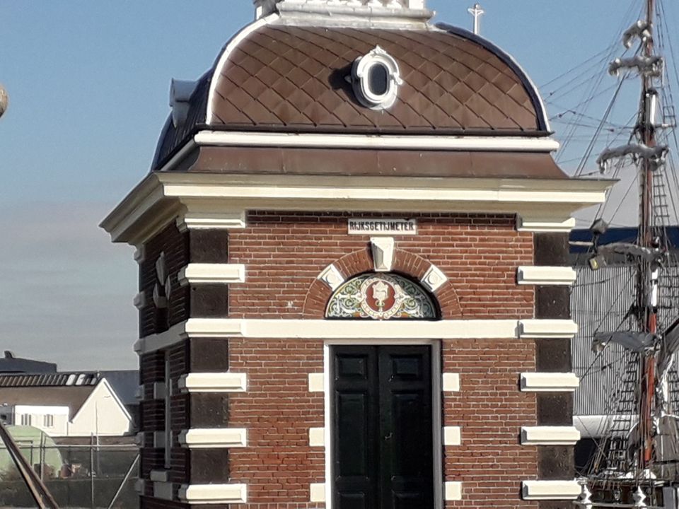
Woudagemaal: largest steam pumping station in the world
Visit the largest steam pumping station in the world!
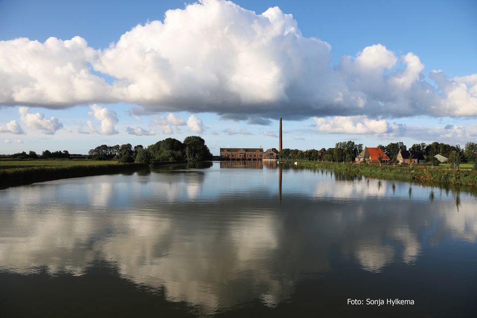
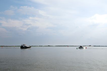
Groote Brekken
The Groote Brekken (Frisian: de Grutte Brekken) is also referred to as Lemster Brekken.
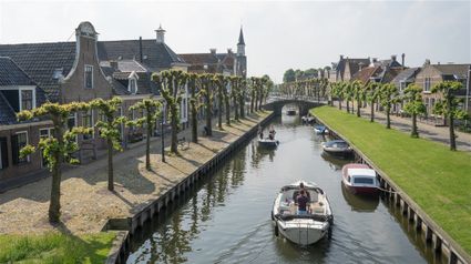
Sloten (Sleat)
Sloten (or Sleat as we say in Friesland) is the smallest Elfsteden town in Friesland. This walled mini-city is also called sipelstêd (Frisian for onion city) thanks to the unique shape of an onion.
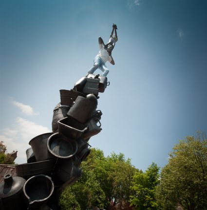
11Fountains Sloten
The ‘Peewit’ shows a girl standing on the shoulders of a man. She holds a bird in her hand. Under the man’s feet a disheveled pile of buckets, jerry cans and barrels form the base of the fountain.
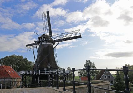
De Kaai corn mill
Near the Lemster Gate you will also find De Kaai corn mill. The windmill stands on a bastion of the city walls, where it still grinds wheat into flour in the traditional and authentic manner. On Saturdays, the mill is open for viewing and flour sales.
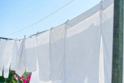
Washing lines of Sloten
Sloten likes to pay homage to its 'bleaches'. This 'Bleekweide' was a grassy commons area on which freshly washed linen was left to dry and bleach in the sun. Sloten likes to remember this bleaching system along its city moat.
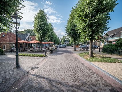
Balk
Balk is a large village with many amenities in Southwest Friesland; it is the main town of Gaasterland and is situated along the Elfstedentocht route.

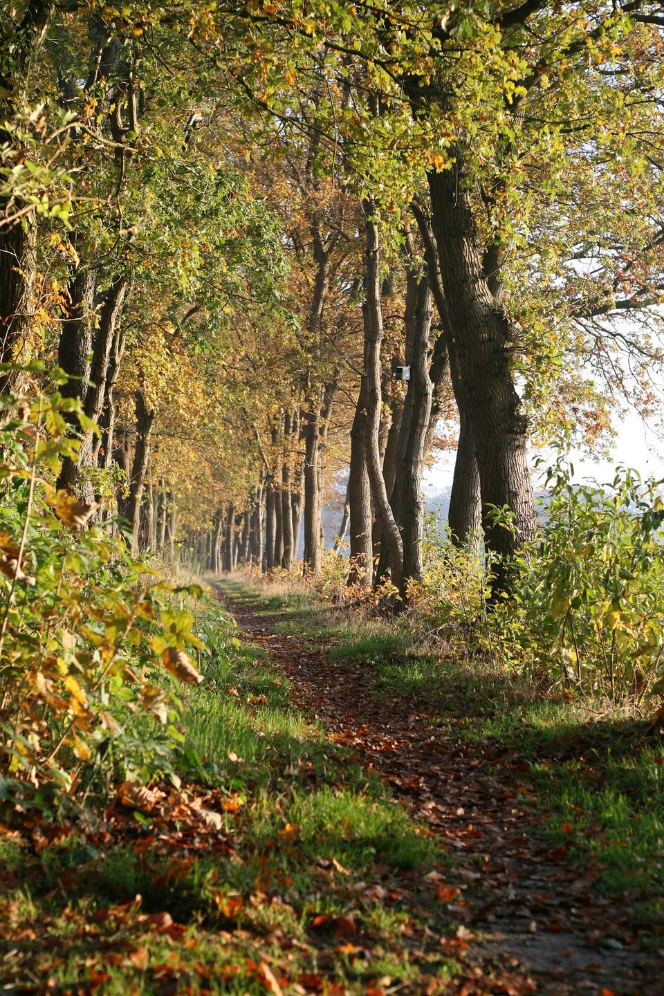
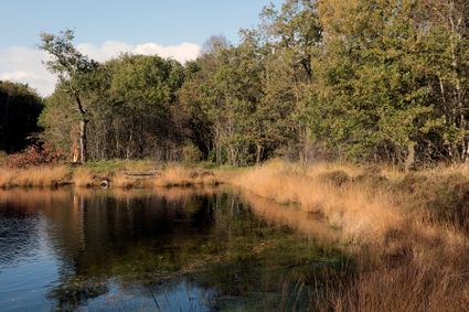
Harichsterbos
The Harichsterbos, a forest of 66 hectares, is located south of Harich and southwest of Balk. The forest has a so-called rabat structure.
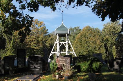
Ruigahuizen Bell Tower
At one time the village of Ruigahuizen had a church and a bell tower. The old bell tower was demolished in 1920. A new one was built to replace it in 1956. The old bell was installed beneath the four-sided dome roof of the new bell tower.
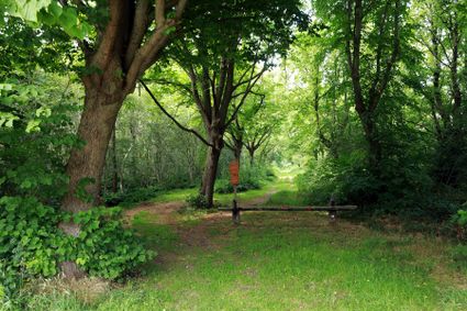
Starnumanbossen
You will not find only neat rows of planted trees, stately avenues, and tightly maintained sandy paths here; this is a natural forest! The western part of the forest is even a forest reserve.
Oudemirdum
Oudemirdum is a charming village located amidst the forests of Southwest Friesland in the Gaasterland region.
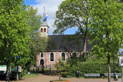
Fountain Church
The Fountain Church is a Dutch Reformed church in the charming little village of Oudemirdum. It was built in 1790 on the foundations of a 13th-century tuff stone church. The second nave on the north side of the church was added in 1926.
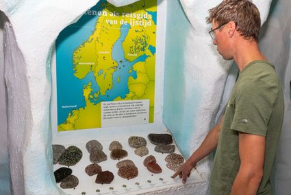
Mar en Klif Visitor Center
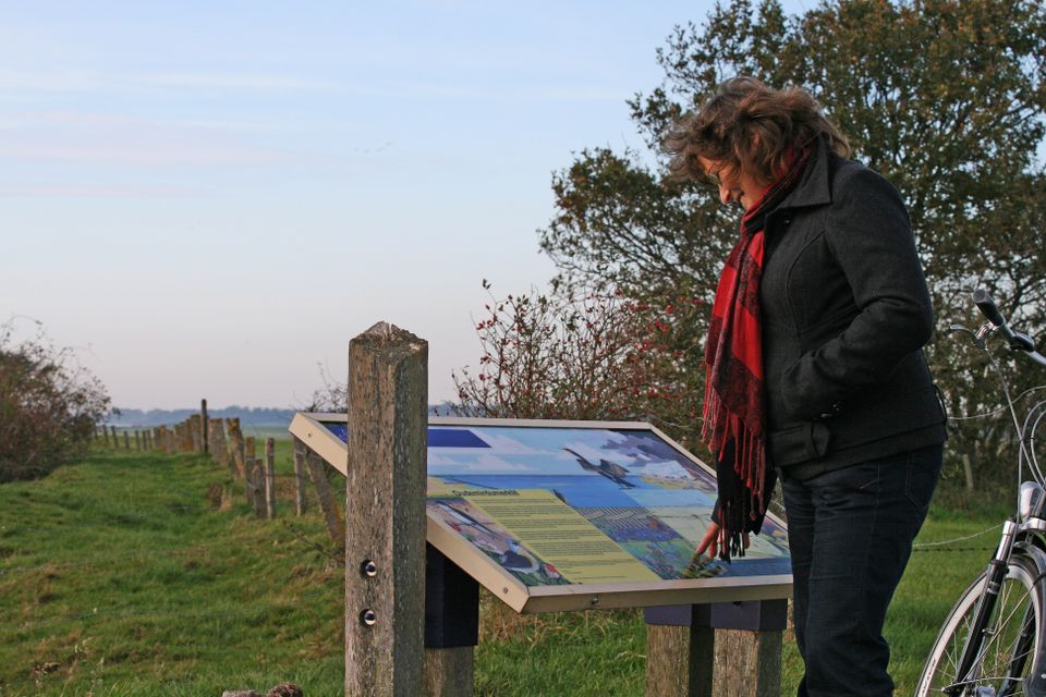
In the visitor centre, you will discover many aspects of National Landscape Southwest Fryslân

- 85
- 70
- 99
- 80
- 81
- 18
- 19
- 33
- 35
- 25
- 24
- 28
- 22
- 14
- 19
- 21
- 08
- 09
- 49
- 60
- 64
- 65
- 69
- 95
- 83
- 82
- 97
- 96
- 90
- 91
- 31
- 30
- 31
- 71
- 80
- 60
- 71
- 70
- 85