Kiekenberg Hill
Oudehorne
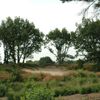
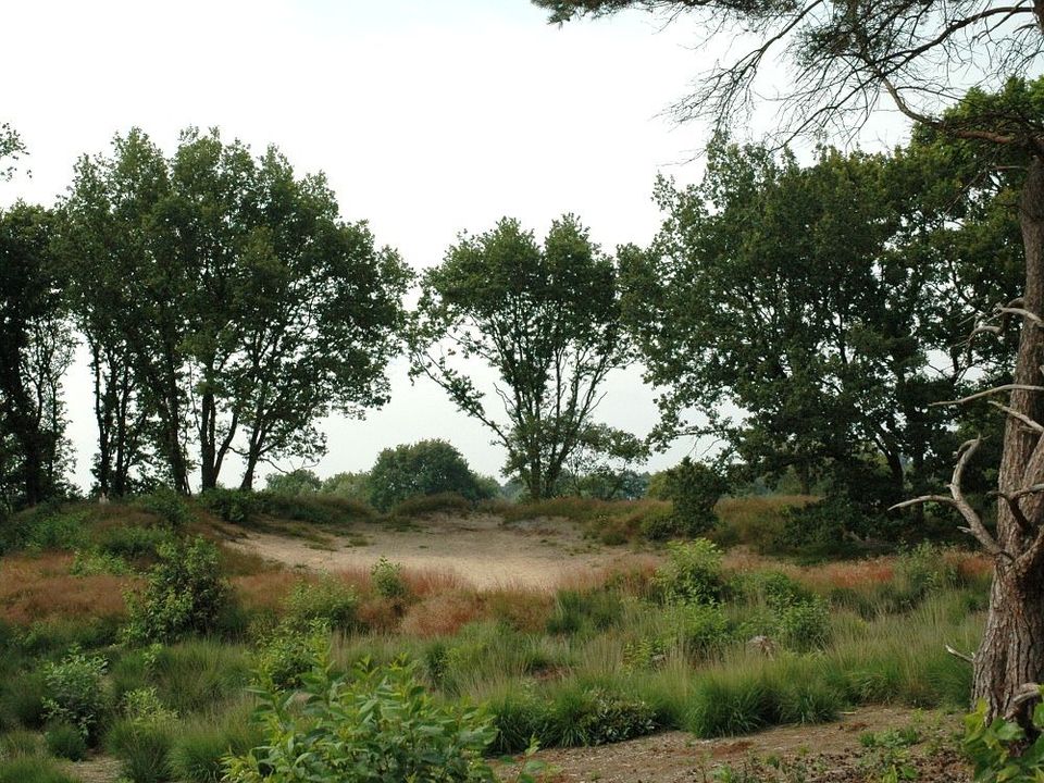
Kiekenberg hill is the highest point in the landscape near the villages of Nieuwehorne, Oudehorne and Oldeberkoop. It was originally two small river dunes, one larger than the other.
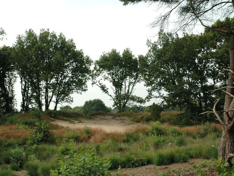
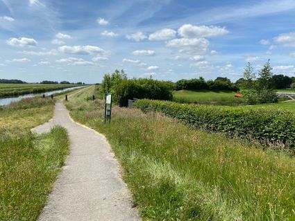
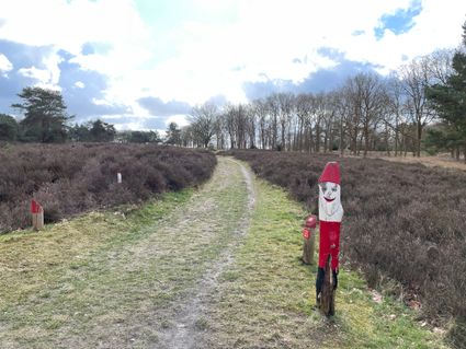
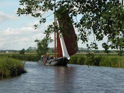
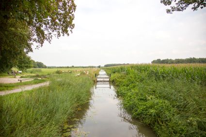
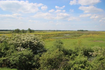
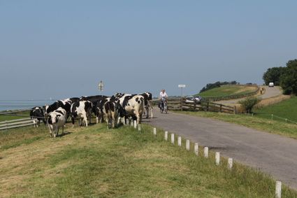
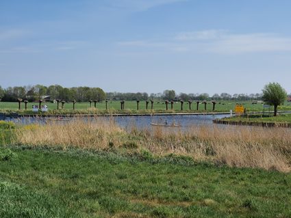
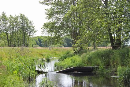
Kiekenberg hill is the highest point in the landscape near the villages of Nieuwehorne, Oudehorne and Oldeberkoop. It was originally two small river dunes, one larger than the other. There are signs of human habitation dating as far back as 11,000 BCE. The hilly dunes offered protection from the high water levels of the River Tjonger, which once formed a natural border. The fordable sections of the river could be guarded from the Kiekenberg dunes. Roman coins have also been found in this area. There is a marked circular walk of about seven kilometres that starts and ends at the statue of Snoesje the goat opposite the St Boniface church in the centre of the village of Oldeberkoop. The route leads past small patches of heath and forest, wooded banks, rows of trees, a series of connected waterways and through scenic districts in the Tjonger valley. Here the history of peat mining in the area comes to life!
- Distance to your location:
Here you will find Kiekenberg Hill
Siebe annesweg8413 CT Oudehorne Plan your route
from your location
-
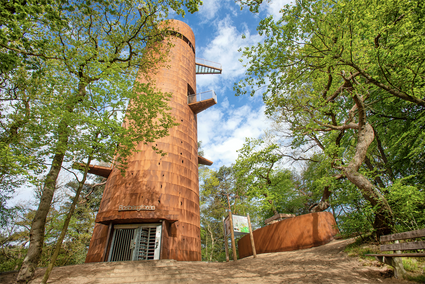
Fietsroute uitkijktorens Zuidoost Friesland
Fietsroute uitkijktorens Zuidoost Friesland (100.0 km)Ravenswoud
 -
Het Andere Friesland: Jubbega-Hoornsterzwaag-Oranjewoud
Het Andere Friesland: Jubbega-Hoornsterzwaag-Oranjewoud (55.7 km)Jubbega