Locations
2737 to 2760 of 2843 results
-
De Ried
De Ried
The Ried tells the story of Frisian water management: from an inland lake to a drainage channel. Along the waterway lie ancient terps, bearing witness to the long history of settlement in this region.
In the 17th century, the Ried area was transformed through the construction of ditches and a new drainage channel, creating the present-day Ried. Small polders were established along the waterway, draining excess water into the Ried. Today, this waterway forms part of the skating route of the Elfstedentocht, where it is known as one of the more challenging sections.
South of the Ried lies an area with several historic terps. Although many of these dwelling mounds have partly disappeared due to excavation and land consolidation, the area remains archaeologically valuable. There are also stories about possible ley lines that are believed by some to connect this location with other remarkable historic sites.
-
-
Stichting Signaal Beheer - Combi Trije Peppels - de Elzebeam
Stichting Signaal Beheer - Combi Trije Peppels - de Elzebeam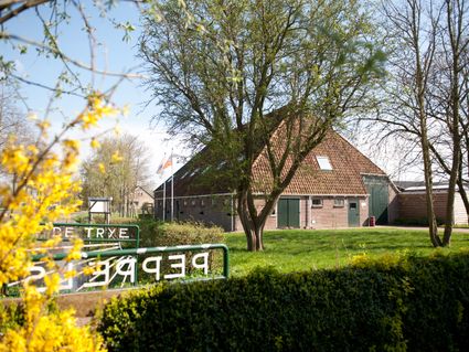
-
Rondvaartbedrijf Lauwersmeer (Boat Tours)
Rondvaartbedrijf Lauwersmeer (Boat Tours)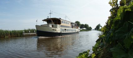
-
Bar Zelle
Bar Zelle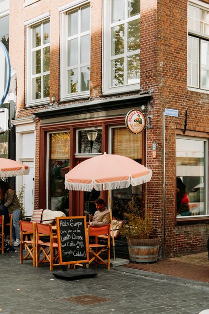
-
Textielatelier Durkje de Boer
Textielatelier Durkje de Boer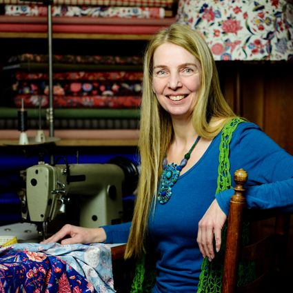
-
Rent a sloop in Friesland
Rent a sloop in Friesland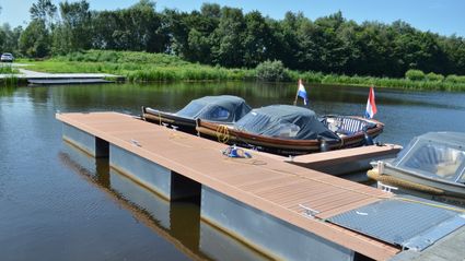
-
Organic food store 'De Eerlijkheid'
Organic food store 'De Eerlijkheid'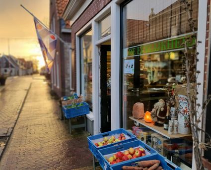
-
Lionserpolder
Lionserpolder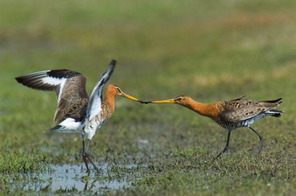
-
Eco-Cathedral Project in Mildam
Eco-Cathedral Project in Mildam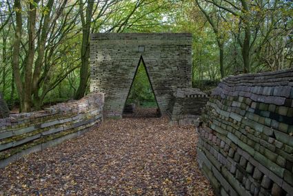
-
Ferron
Ferron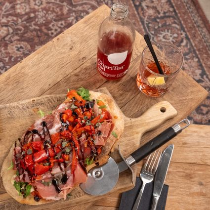
-
Family van der Werff
Family van der Werff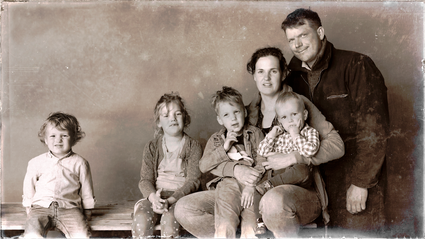
-
NorthWest Kiteboarding
NorthWest Kiteboarding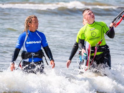
-
Wieuwerd
Wieuwerd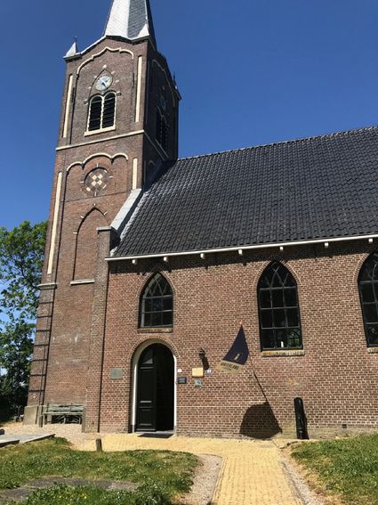
-
Appartementen Harkema - Appartement Molesicht
Appartementen Harkema - Appartement Molesicht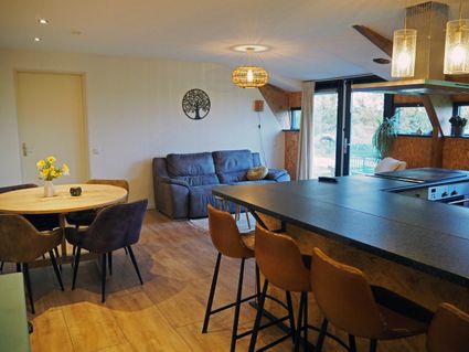
Book now
-
Hein Mader Sculptures
Hein Mader Sculptures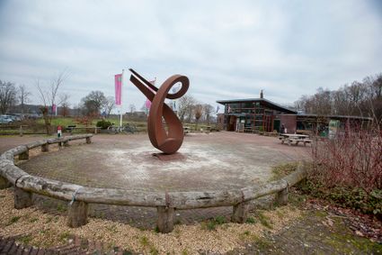
-
De Terminus
De Terminus
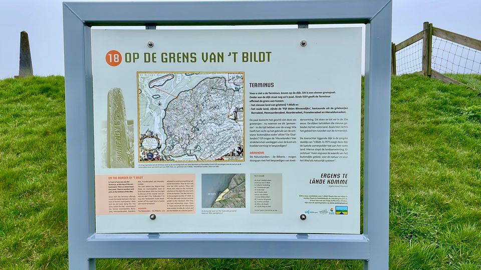
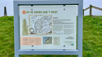
The boundary marker ‘de Terminus’ on top of the dike marks the boundary between the new and the old land.
This boundary marker indicates the division between the old land and the newly reclaimed land. The land reclamation was highly valuable, creating new fertile agricultural land to cultivate. However, a dispute arose over who had the right to this land: the people of the old land or those of the newly reclaimed land.
Ultimately, the land went to the people of the newly reclaimed land. Today, land reclamation has ceased in order to protect the beautiful nature outside the dike.
-
-
Wellekom Watersport - Platbodem zeeschouw Vrouwe Leentje
Wellekom Watersport - Platbodem zeeschouw Vrouwe Leentje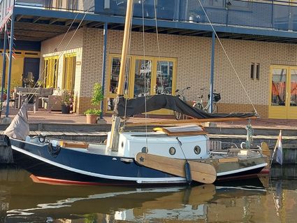
Book now
-
Visitor Center and Tourist Information Heeg
Visitor Center and Tourist Information Heeg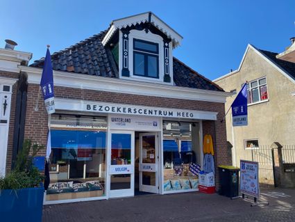
-
Zijda Yachting - Victus
Zijda Yachting - Victus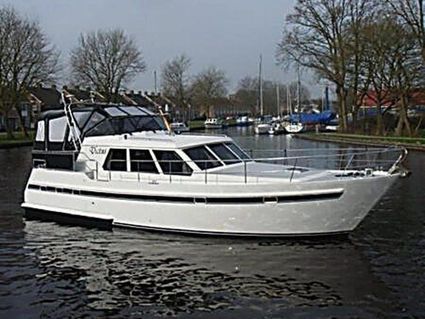
Book now
-
Sint Gertrudiskerk Baard
Sint Gertrudiskerk Baard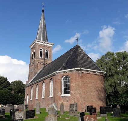
-
Drink & Eetlokaal Proefverlof
Drink & Eetlokaal Proefverlof
-
Organic milk tap Hylkema
Organic milk tap Hylkema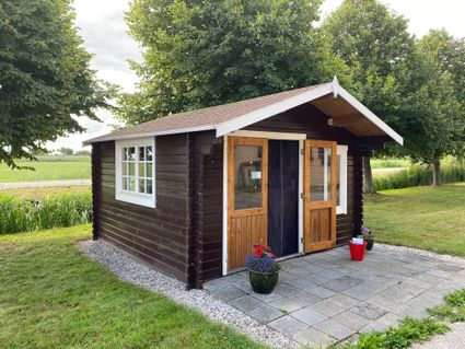
-
Haulsterbos
Haulsterbos
-
Tourist Information point Oudega
Tourist Information point Oudega