Locations
2209 to 2232 of 2323 results
-
Terschelling Recreatie Resort De Riesen
Terschelling Recreatie Resort De Riesen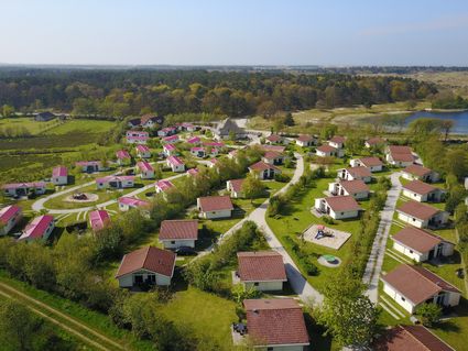
-
Stadsherberg 'Het Wapen van IJlst'
Stadsherberg 'Het Wapen van IJlst'
Book now
-
Follega Bell Tower
Follega Bell Tower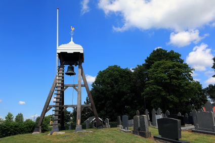
-
Information point Woudsend (de Rakken)
Information point Woudsend (de Rakken)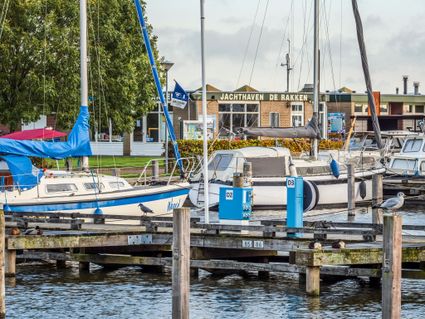
-
Sâltpoel
Sâltpoel
-
Zijda Yachting - Mariska Elite
Zijda Yachting - Mariska Elite
Book now
-
Eysinga State - Landhuisbungalow seis
Eysinga State - Landhuisbungalow seis
Book now
-
The Lady of Stavoren
The Lady of Stavoren
-
Leer Atelier Gre@tt
Leer Atelier Gre@tt
-
Schaopedobbe Nature Reserve
Schaopedobbe Nature Reserve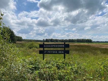
-
‘t Séleantsje near Molkwerum
‘t Séleantsje near Molkwerum
-
Natuurkampeerterrein minicamping Singel - Plaats Trekkerstent voor wandelaars en fietsers
Natuurkampeerterrein minicamping Singel - Plaats Trekkerstent voor wandelaars en fietsers
Book now
-
Bunker Koehoal
Bunker Koehoal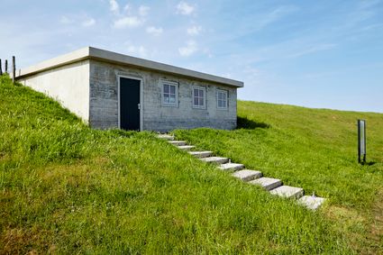
-
Public mooring spot SN09A
Public mooring spot SN09A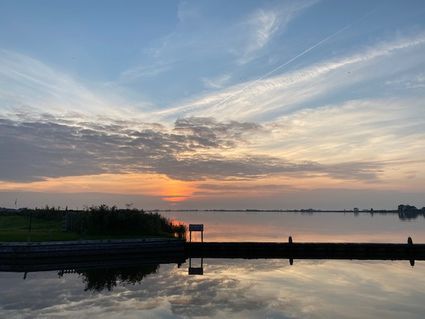
-
Het Zwin Nature Reserve
Het Zwin Nature Reserve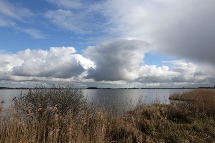
-
Vakantiehuis Pondok
Vakantiehuis Pondok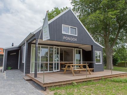
Book now
-
B&B De Hoffstee
B&B De Hoffstee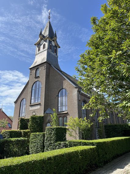
-
Zijda Yachting - Fantasy Elite
Zijda Yachting - Fantasy Elite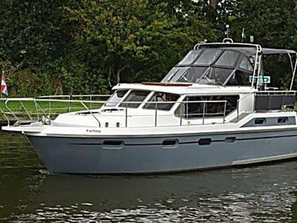
Book now
-
Welgelegen - Pipo wagen (tweepersoons)
Welgelegen - Pipo wagen (tweepersoons)
Book now
-
Rispens polder mill Easterein
Rispens polder mill Easterein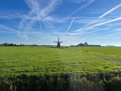
-
Under de Wol - Woning 12
Under de Wol - Woning 12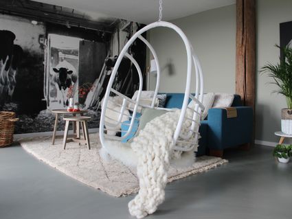
Book now
-
Camping de Bearshoeke
Camping de Bearshoeke
-
Recreatiepark de Jerden
Recreatiepark de Jerden
Book now
-
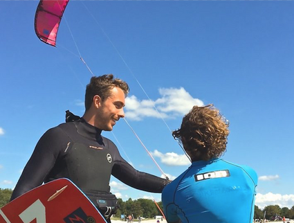
Kitesurfschool KiteMobile
Kitesurfschool KiteMobile